MrSID 2005 Data
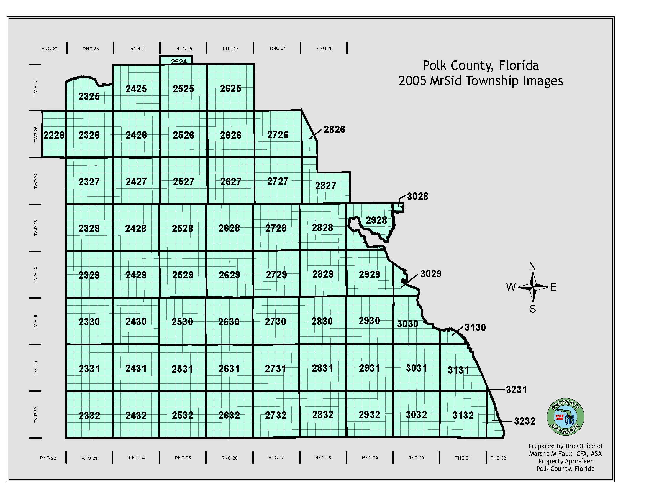
The MrSID 2005 data is grouped by townships.
Horizontal Coordinate System
Florida State Plane Coordinate System, Florida West Zone (0902)
North American Datum of 1983/HARN, US Survey Feet
2005 Images
1’= 100’ National Map Accuracy Standards
Negative scale 1”=833’
Resolution = One foot pixel resolution
Date of aerial photography = February 2005
These images are county-wide. See map below: