Parcel Details
The Parcel Details Page
Access relevant information for every parcel in Polk County including:
|
Owner(s) |
|
This will show the owner(s) name(s) and their percentage of ownership. |
|
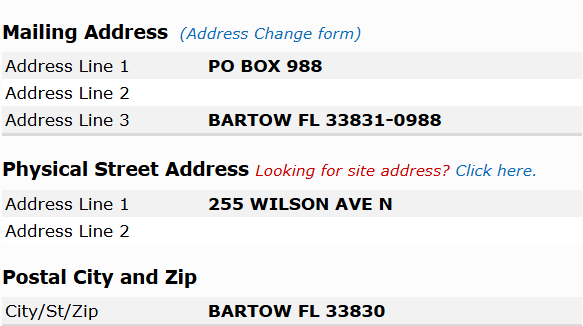
Mailing and Site Address(es) |
|
Shows the mailing address and site address for the parcel based upon on our records. |
|
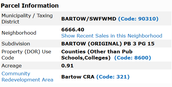
Parcel Information |
|
This section contains the neighborhood number, subdivision, Property Use Code (DOR Code), Acreage of the property, Taxing District and whether the parcel is in a Community Redevelopment Area (CRA). |
|
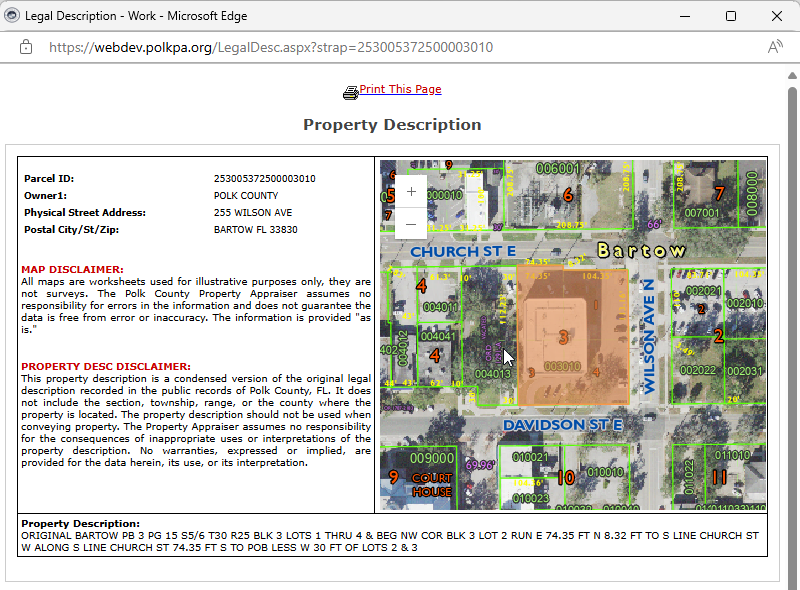
Property Description |
|
Shows a condensed version of the legal description of the property. |
|
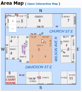
Area Map |
|
Shows a small portion of the interactive map showing the placement of the parcel within the area. Clicking the "Open Interactive Map" link above the map, will open the PCPA Mapping Site and provide you with additional information regarding the parcel and the opportunity to search for additional information. |
|
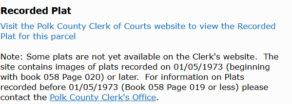
Recorded Plat |
|
Displays a link to the Clerk of Courts website to view the recorded plat for the parcel. |
|
Mapping Worksheets (plats) |
|
Displays links to the mapping worksheet for the parcel. |
|
Linked Tangible Personal Property Accounts |
|
Displays a list of Tangible Personal Property accounts associated with the parcel. |
|
Sales History |
|
Shows Official Records book and page of recorded deeds, the date of the deed, the type pf deed, vacant or improved property, the grantee and the sales price of the transaction. In addition, if the OR book and page number are blue, this is a link which will take you from the Property Appraiser site to the Clerk of the Courts site where you can access the document. |
|
Exemptions |
|
This section shows any exemptions that are applied to the parcel. |
|
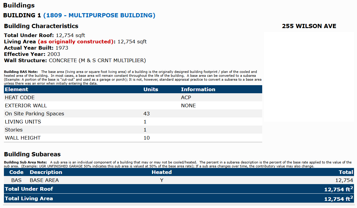
Buildings |
|
This shows the number of buildings along with the characteristics for each building. |
|
Extra Features |
|
Any extra features the parcel may have (i.e. Asphalt, Pool, Shed, Barn, etc.). |
|
Permits |
|
Information on who to contact for any permitting questions. |
|
Land Lines |
|
This gives a description of the land usage (Residential, Commercial, etc.), whether it has an AG/Greenbelt classification, the Land Unit Type, measurements of front and depth of parcel (in feet) and the total number of units. |
|
Value Summary (Current Year) |
|
This is the current year values for each component of the property which gives the assessed, exempt, and taxable value. |
|
Values by District |
|
This shows the tax rate (proposed or final), assessed value, final taxes based upon assessed value, any exemption on the property, tax savings due to the exemptions, taxable value of the property and the final taxes. |
|
Taxes |
|
This section shows the amount of taxes for the current year and last year. |
|
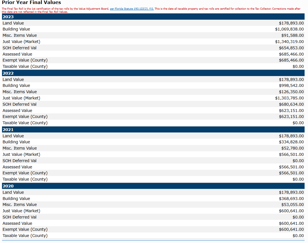
Prior Year Values for the Last 4 Tax Years |
|
This area shows the changes in the values of the property over the previous 4 years. It helps give a reference point on how each item ties into the overall value of the property (whether increasing or decreasing value). |

